Cimadera - Denti della Vecchia - Monte Boglia - Brè Paese

5h - 12.5km - 906m ascent, 1276m decent
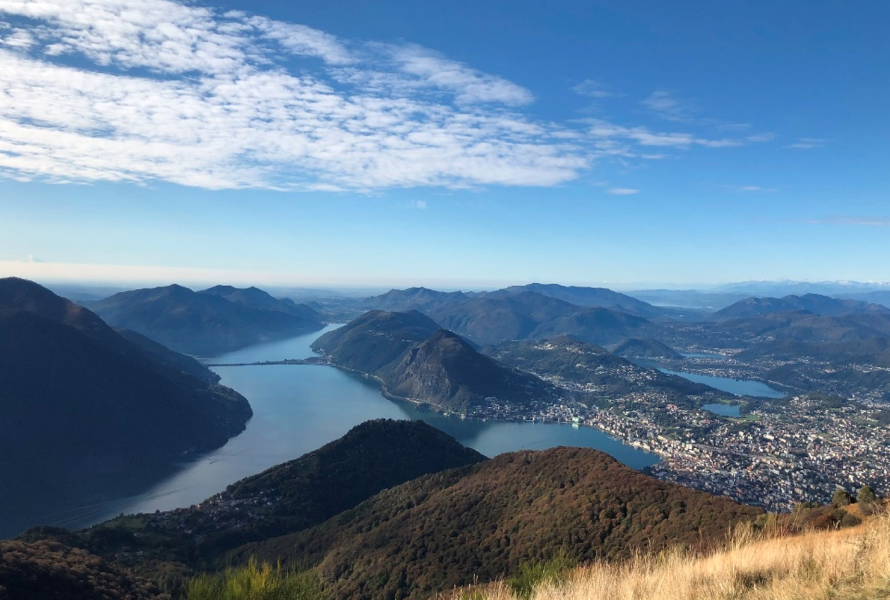
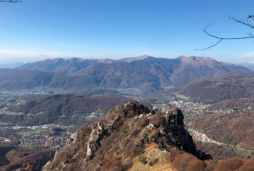
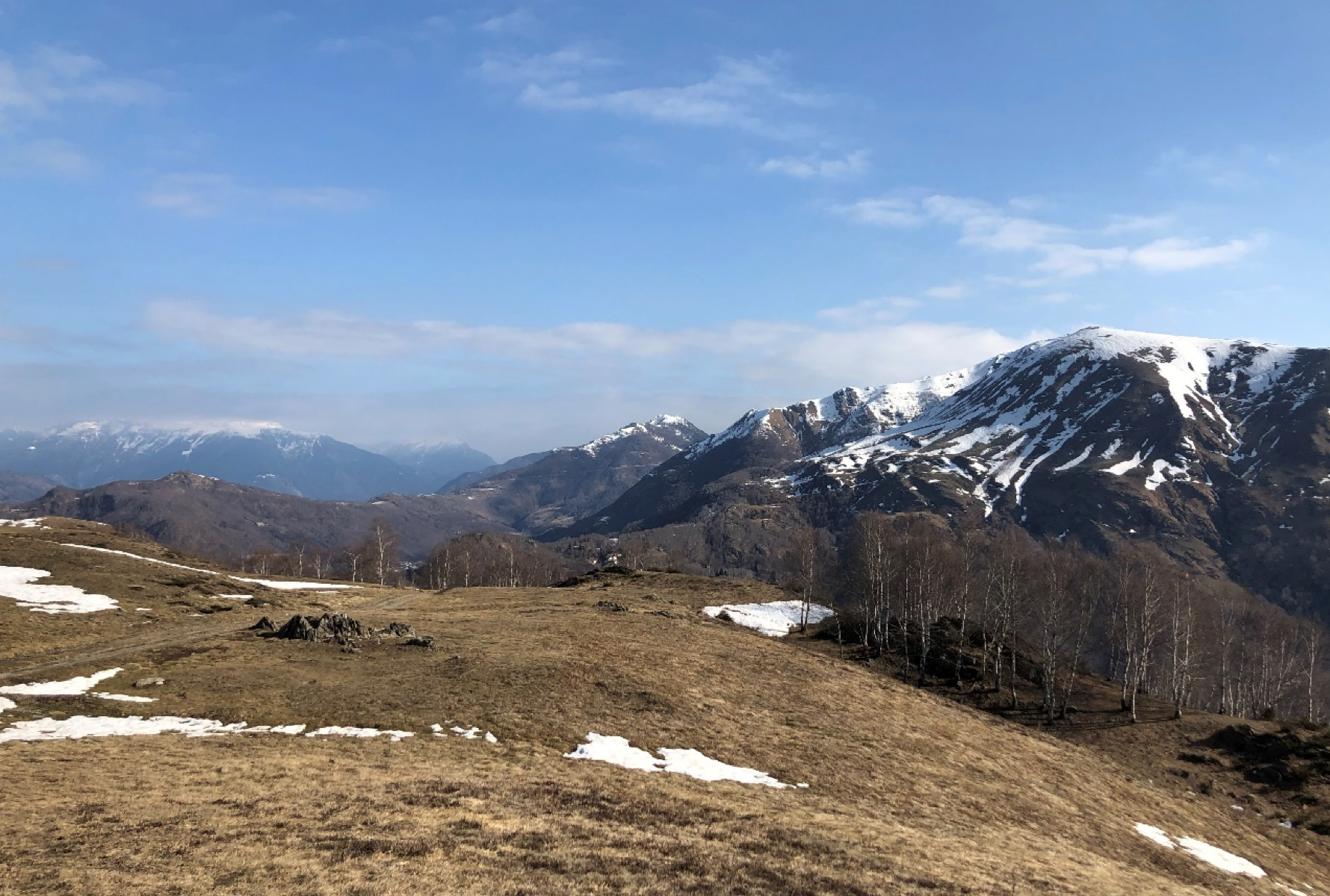
Take the bus from “Lugano, Centro” to “Cimadera, Paese”. The trail goes slightly uphill, passing the “Capanna Pairolo” until reaching “Denti della Vecchia”, an impressive rock formation along the border between Switzerland and Italy. These rocks are also well known by climbers. After passing “Denti della Vecchia” you walk downhill until “Alpe Bolla”. From there the rather steep ascent to the top of Monte Boglia begins. On top you have a stunning view over the whole Lugano region and Italy. From now on the route goes downhill until the small village Brè Paese. Here you can take the public bus or the cable car back to Lugano.
boglia
Bildschirmfoto 2021-05-26 um 16.39.03
If you still have enough energy you can walk 1h downhill to Gandria and take back the bus to Lugano or walk back from Gandria to Lugano as well in about 1h.
Bildschirmfoto 2021-05-26 um 17.11.52

Paradiso - San Salvatore - Morcote

4:30h - 12.7km - 855m ascent, 879m decent

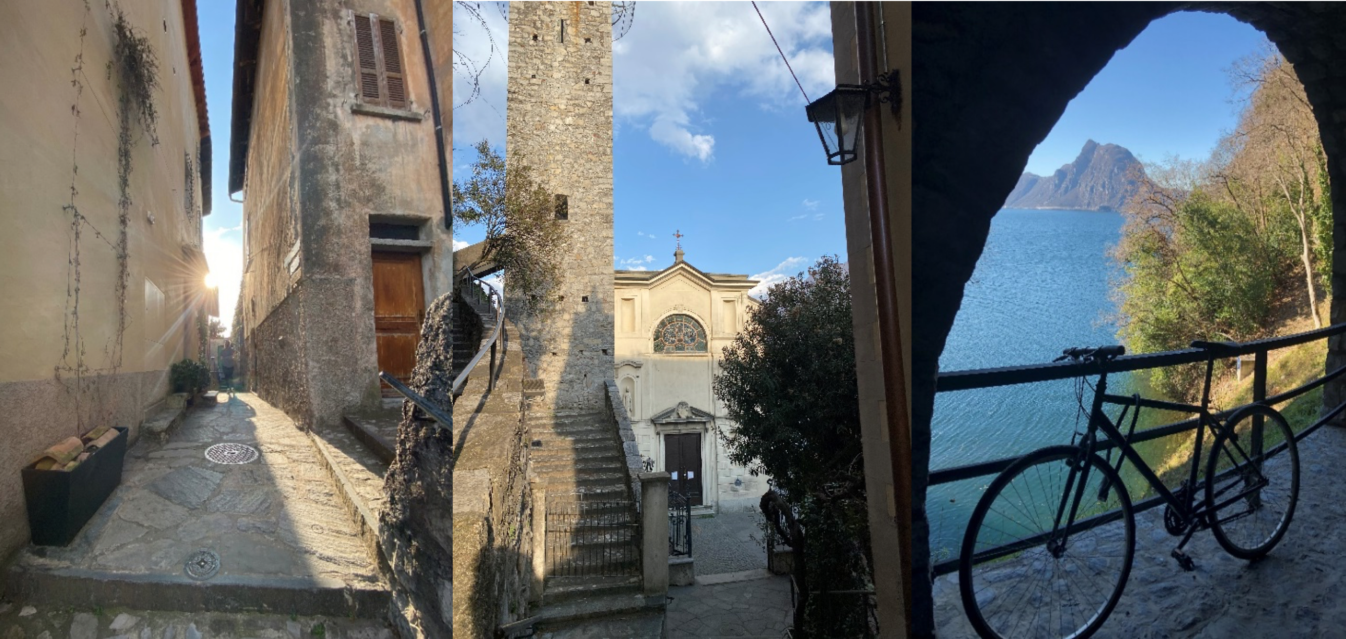
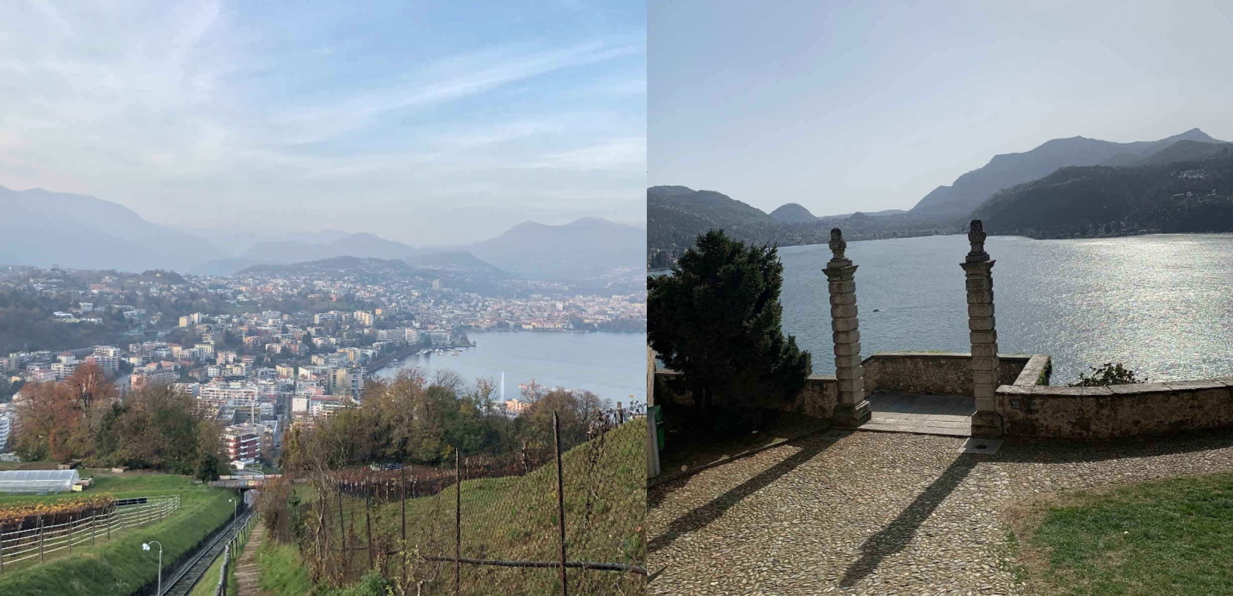
Take the bus or train to the station of “Lugano Paradiso”. From there the steep ascent until Monte San Salvatore starts. After 1h 45min you reach Monte San Salvatore. From here you have a wonderful 360° view. You follow the trail in direction of Carona/Morcote. You walk downhill until Carona. From there you can walk a bit uphill to “Cima Pescia” and then downhill to Morcote or you walk downhill directly to Morcote. Morcote is one of the most beautiful villages in Switzerland with it’s typical southern vegetation, the church Santa Maria del Sasso and its scenic architecture. From Morcote you can take back the bus or the cruise ship to Lugano.
Bildschirmfoto 2021-05-26 um 17.22.12

Tesserete - Comone - Comano - Lago di Origlio - Lamone

3:20h - 10.5km - 420m ascent, 617m decent

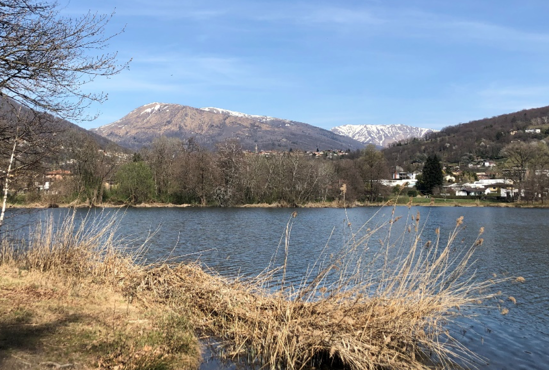
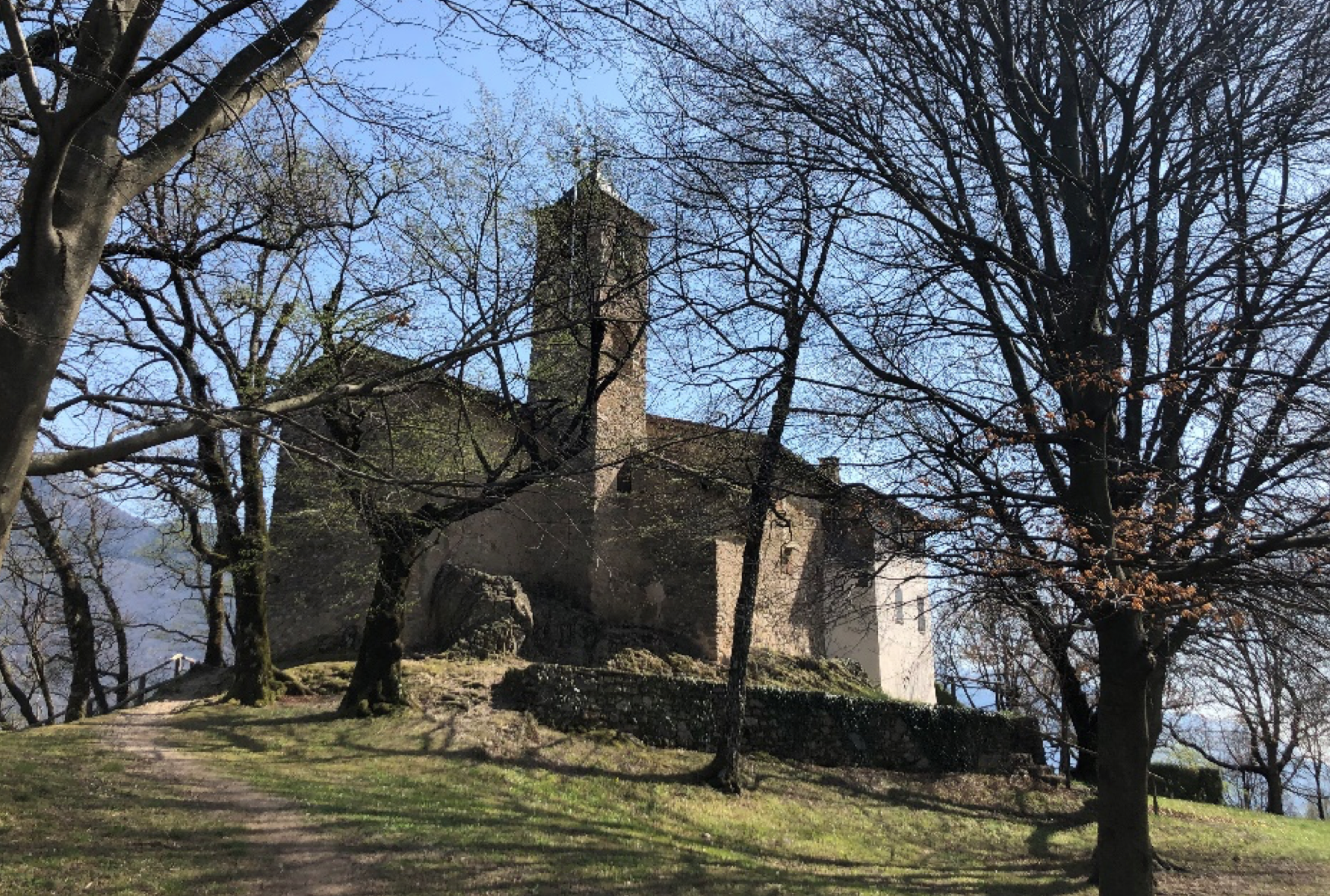
After the bus ride to Tesserete you take the small road in the direction of Vaglio. From there you start to walk up until you reach the S. Clemente church and a bit later S. Bernardo church. The latter was built in 1574 and the frescos are partially still preserved. It is also a very nice place to take a small break before starting the way to Origlio and the Lago d’Origlio. You can also take a walk around the little lake. Unfortunately, swimming in the lake is not allowed. Now the last ascent until S. Zeno church starts. After reaching the church you’re not far from the station Lamone-Cadempino where you can take a train back to Lugano.
Bildschirmfoto 2021-05-26 um 21.16.22
Bildschirmfoto 2021-05-26 um 21.16.12

Tesserete - Monte Bigorio – Gola di Lago – Roveredo - Tesserete

5:20h - 14.8km - 984m ascent, 984m decent

As well for this hike you take the bus to Tesserete. From there you walk to Bigorio, where the rather steep ascent to Monte Bigorio starts. At some point you even cross the “Galleria di base del Ceneri”. Fortunately not directly, but, some meters below you. As soon as you’re on top of Monte Bigorio the way starts to go downhill, but at least not as steep as uphill. You pass Gola di Lago and change the side of the valley. The trail passes below Motto della Croce and finally to Roveredo. From there you can either take the bus to Lugano or you walk back to Tesserete where you started your journey.
Bildschirmfoto 2021-05-26 um 21.41.18

Nik's trailrunning tip

Having stood on the terrace of Ospedale Civico and seen the view from there, I decided I can no longer wait to explore the mountains around Camoghè in the distance. I got home and opened the map to find some nice trails to run on.
And then I went, and ran the 30 kilometres and 1800 meters in altitude:
Etappe 1: Isone - Alpe Caneggio ~1:20h, 7.8km, 772hm
I started my run in Isone, 45 minutes with train and bus from Lugano. The trail lead me up the side of the valley to the Cima di Dentro. I ran along the ridge, past the military areas and along a street that curved up the hill. At the end of the street, a trail started, leading me to a little sanctuary on Alpe Caneggio.
Etappe 2: Alpe Caneggio - Camoghè ~1h, 3.4km, 761hm
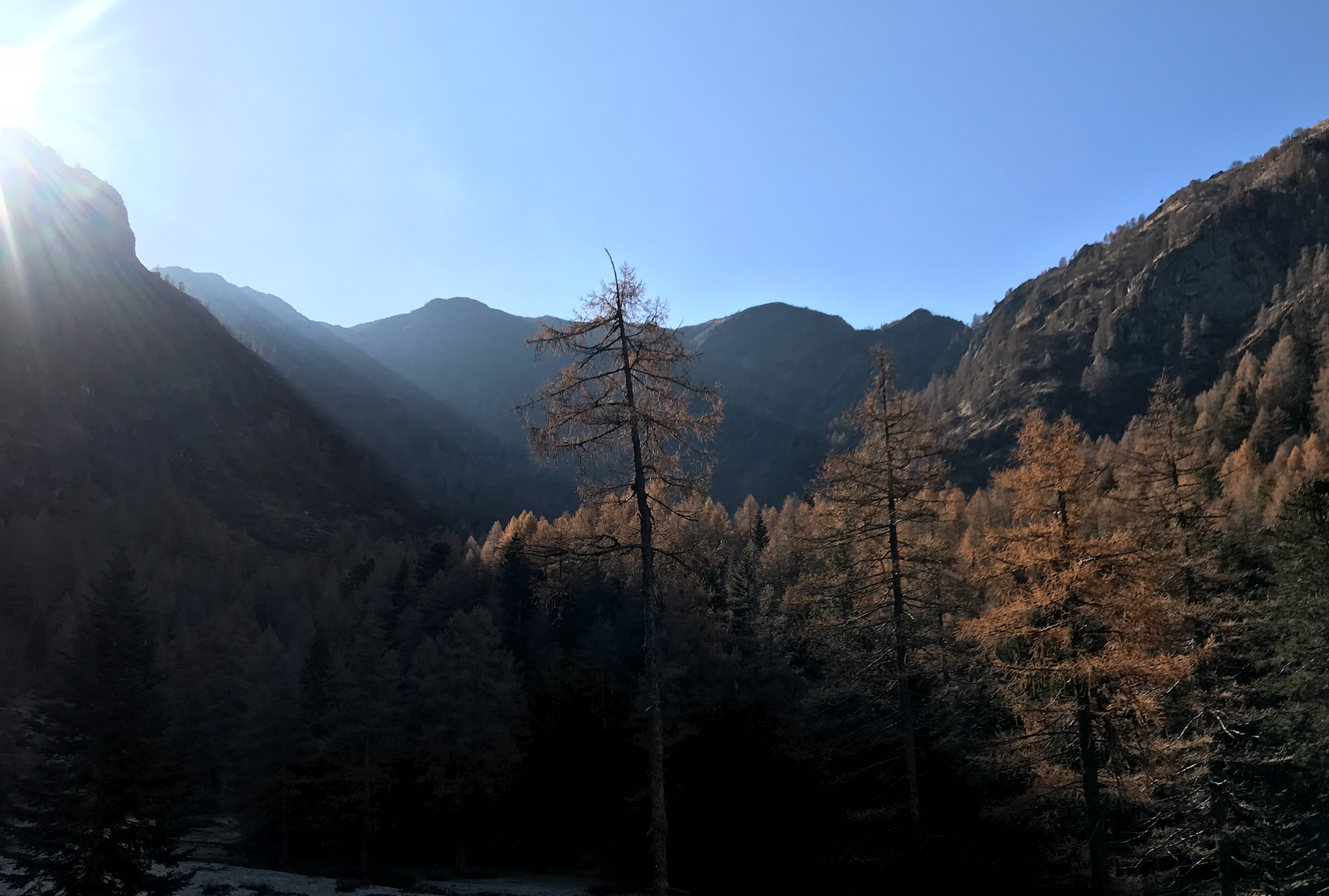
From Alpe Caneggio I ran deeper into the valley along the stream /Vedeggio/. To reach the first terrace, I had to climb around 150 meters of altitude. I passed a couple of little lakes that were still frozen due to the shadow of Camoghè before a little path lead me through couloirs and steep terrain up to the summit. 500 meters in altitude later, I was there.
Etappe 3: Camoghè - Monte Bar ~1:15h, 7.3km, 367hm
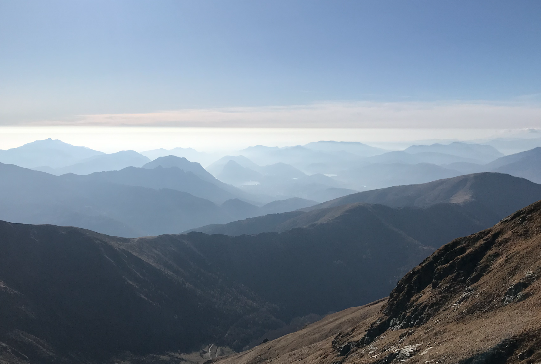
After a short break on the summit admiring the incredible view, I started the steep gravely decent on the south wall. At /Bocchetta di Revolte/ the path split. I took the path to the right which lead me down the valley before snaking its way along the altitude lines to the ridge between Monte Bar and Gazzirola.
Having followed the ridge to the right, I finally reached the grass covered Monte Bar.
Etappe 4: Monte Bar - Tesserete ~1h, 9.1km, -1317hm
From Monte Bar running down to the Capanna Monte Bar made me feel invincible. With the soft grass beneath the feet and the valley of Lugano in front of me, I felt like I was flying.
From the Capanna I ran along the gravel road until its first curve. There, the path took me to a big cross overlooking Tesserete. From there, I had a decent with almost a thousand meters in front of me. With burning thighs and tired feet I finally reached Tesserete and climbed on the bus that took me back to Lugano.
Note: Only for experienced trailrunners. It's quite long and not always on easy paths!
Bildschirmfoto 2021-05-27 um 17.05.02
Bildschirmfoto 2021-05-27 um 17.05.34